Web GIS: Mapping at the Age of Internet
Ten years ago, if you ask me to make a map of all the National and State Parks of the United States, with all its descriptions and related information accessible by the public as a web mapping application, I would probably stop you right there and convince you that neither am I a GIS developer nor a programmer, and that I can only make printed maps of those parks. But gone are those days when digital mapping is only done by highly-skilled Geographic Information Systems (GIS) professionals. Today, one can make these web maps in just a few clicks and practically share them to everyone as well. Just like other disruptive technologies that make our lives easier from booking an accommodation with Airbnb, and hailing a cab with Uber, digital mapping has never been this uncomplicated through Web GIS.
Evolution of GIS
There was a time when digital mapping is done by a very limited number of companies and agencies with their expensive hardware and sophisticated software programs, operated by expert cartographers and engineers. This traditional GIS setup is often referred to as Desktop GIS, wherein an operator authors a map from a workstation using a free or proprietary GIS mapping software. Until recently, the use of web technologies in providing basic services has become so extensive that it also benefitted the mapping and GIS industry. Technological advancement in hardware and software development drove the industry to extend the capabilities of GIS that will enable users to consume and share geospatial information to a wide audience through the web. Consequently, the evolution of GIS mapping also paved way to the influx of large volume of geospatial information brought about by this trend. Thus, the term ‘web mapping’ and ‘web GIS’ was coined, referring to the process of serving and consuming geospatial information usually through a web browser such as Google Chrome, Mozilla Firefox and Safari, wherein users can also choose what they want to see or do with the map.
Gazetteer for Scotland – The first geographical database with interactive mapping. One of the earliest web mapping applications with its first prototype dating back in 1995.
Advantages Over Traditional GIS Patterns
Talking about GIS servers and clients that are literally thousands of miles away from each other, there is no doubt that one of the foremost advantages of Web GIS over traditional Desktop GIS is global reach. A marine biologist in California can now author a web map showing the habitations of an endangered species, which can be viewed by the director of a non-profit environmental conservation organization in Tokyo using his computer or mobile device. Depending on the capabilities of the web map enabled by the author, the user can perform additional actions on the map, such as querying, printing, and data analysis.
Using a web browser, everyone can now visualize geospatial data, share maps, and perform analysis. A manager of a logistic company for example, can now view the locations of delivery destinations and find the optimal route in delivering packages.
Below are just some of the advantages of Web GIS over the traditional Desktop GIS:
- Ease of use - Web GIS is intended to be used by a broader audience, especially those that have little or no knowledge in GIS at all. While Desktop GIS is usually used by professionals who have an expertise in geospatial technology, Web GIS can be leveraged by different organizations such that, everybody can easily create maps, visualize data, and conduct spatial analysis. Compared to desktop applications with over a hundred buttons and toolbars, web applications are usually designed for simplicity, comprising of only a few essential buttons designed for a very specific purpose of the map.
- Accessible – One of the limitations of Desktop GIS is that it can only be used by a single user at a time. Organizations need to have several workstations with a GIS software installed to perform basic mapping tasks. With Web GIS, multiple users can work simultaneously using only their web browsers. Given that users can now access the web using their mobile phones, the reach of these services widens even more.
- Cost-effective – Since Desktop GIS requires individual GIS programs installed on every workstation, maintenance cost also increases as the number of users grows. Organizations that need to offer GIS capabilities to several users can tap the power of Web GIS to minimize this cost. Given that the updates are also applied across all clients, organizations can easily deliver real-time information.
The Future of Web GIS
This paradigm shift in mapping not only benefitted those that are consuming geospatial data but also those that are creating it. You can ask me the same question as before and I can confidently give you a web map of those national and state parks even if I have a limited knowledge about programming. Today, creators of authoritative geospatial information are not only confined on the idea of making maps but more importantly, on sharing them. But if you are going to ask if this trend is going to replace the traditional one (Web GIS vs. Desktop GIS), well, at least not in the next few years. Users still need Desktop GIS for authoring and analyzing high-volume and high-velocity geospatial data. While Web GIS offers an excellent avenue for data sharing and collaboration, Desktop GIS is still very much needed for data preparation. Simply put, we can think of Desktop GIS as Photoshop, where we perform advanced edits on our images and Web GIS as Instagram, where we share these edited images. They are both here not to replace but complement each other.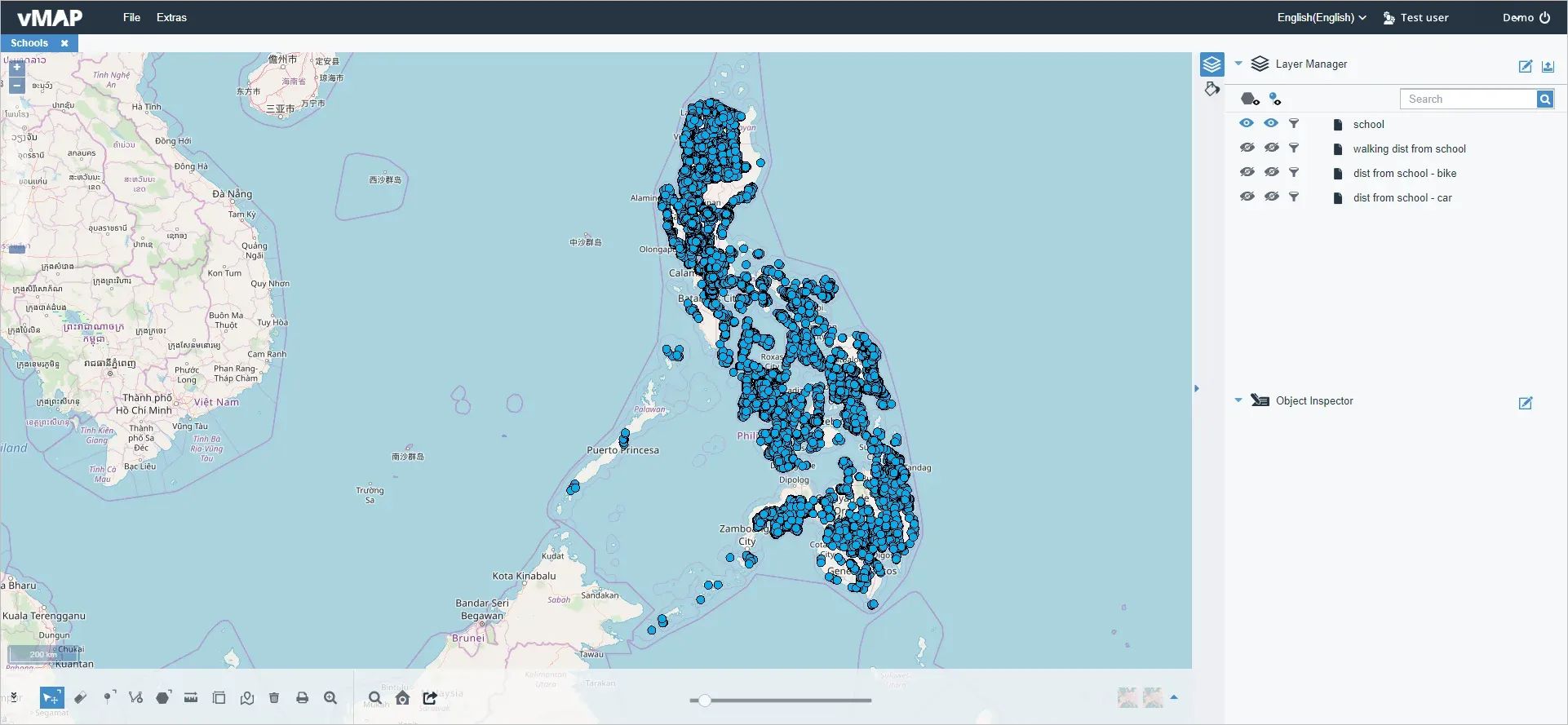
An example of Web GIS, vMAP is a powerful, accessible web-based Geographic Information System (GIS) solution that offers data analysis, visualization and other mapping capabilities for organizations across all industries.